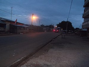
Bawku
Pian'azug
Bawku
| Country | Ghana |
|---|---|
| Located in the administrative territorial entity | Bawku Municipal District |
| Location | Upper East Region |
| Coordinate location | 11°3′36″N 0°14′32″W |

Bɔk anɛ tɛmpʋʋg, ka an Bɔk sʋ’ʋlim wʋsa tɛmpʋtita’ari bɛ Upper East[1] tudu ni, Ghana ya-dagɔbʋg. Di kpi’enɛ Burkina Faso nɛ Togo titɔnris. Yʋʋm tusa ayi' nɛ piinɛ ayi' la nii, Bɔk nidib wʋsa kal bɛɛ 2012 census la ni da anɛ tusa pisyuobʋ nɛ awai nɛ kɔbisnu nɛ pisi nɛ ayɔpɔi (69, 527)
Buudi malima nɛ zin’ivɛnla
[dɛmisim gbɛlima | dɛmisimi din yi zin'isiana]Gbanvɛɛnsa
[dɛmisim gbɛlima | dɛmisimi din yi zin'isiana]- "World Gazetteer online". World-gazetteer.com. Archived from the original on 2012-01-11.
- Bawku Municipal District Archived June 14, 2013, at the Wayback Machine
- "Upper East Region". List of All MMDAs in Ghana. A Public - Private Partnership Programme between Min. of Local Govt., Rural Dev. & Environment & Maks Publications & Media Services. 2006. Archived from the original on 2009-08-05. Retrieved 2008-01-01.
- "4 dead in renewed Bawku chieftaincy violence - MyJoyOnline.com". www.myjoyonline.com. 2022-01-24. Retrieved 2022-01-24.
- "Upper East Region Attractions - Ghana Tourism Homepage". Touringghana.com. Archived from the original on 2014-03-17. Retrieved 2014-04-18.

